Wending A coast-to-summit national trail, 190 miles, walked in four chapters

The trail

The Wending Way starts on wet sand at the lowest tide of the month and finishes 190 miles later on a summit that spends half the year inside cloud. Between the two it climbs slowly, through four kinds of country, and asks almost nothing of you but time.

Distance
190 miles
Ascent
978 m
Chapters
4
Walking days
16
Start
Saltmarsh Point, at low water
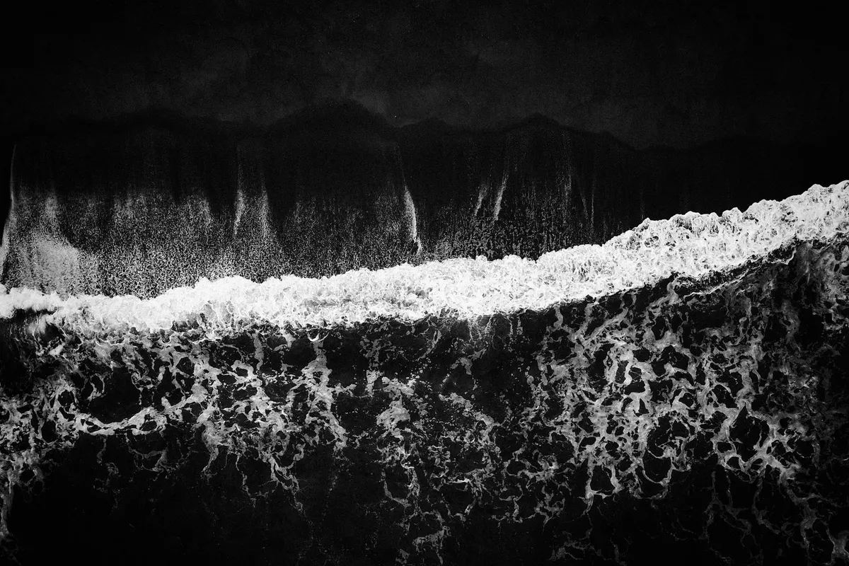
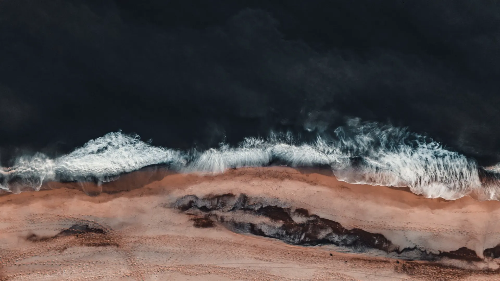
Surf breaking on a dark shore, seen from directly above
01 / 04 · Shore

Shore

Altitude
0 m
Mile
0
Days
3

The Way opens at Saltmarsh Point on the lowest tide of the month, because the first six miles are under water at any other time. You walk the tide line north with the sea on your left for three days, and the only climbing is over the dunes at Blackstone Sands.
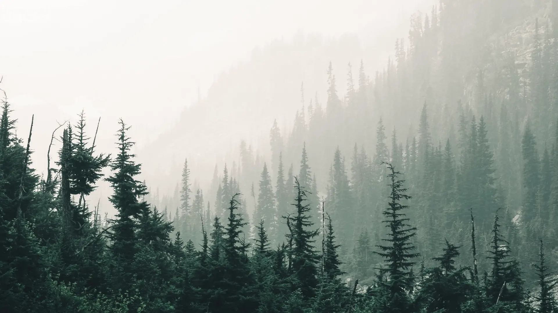
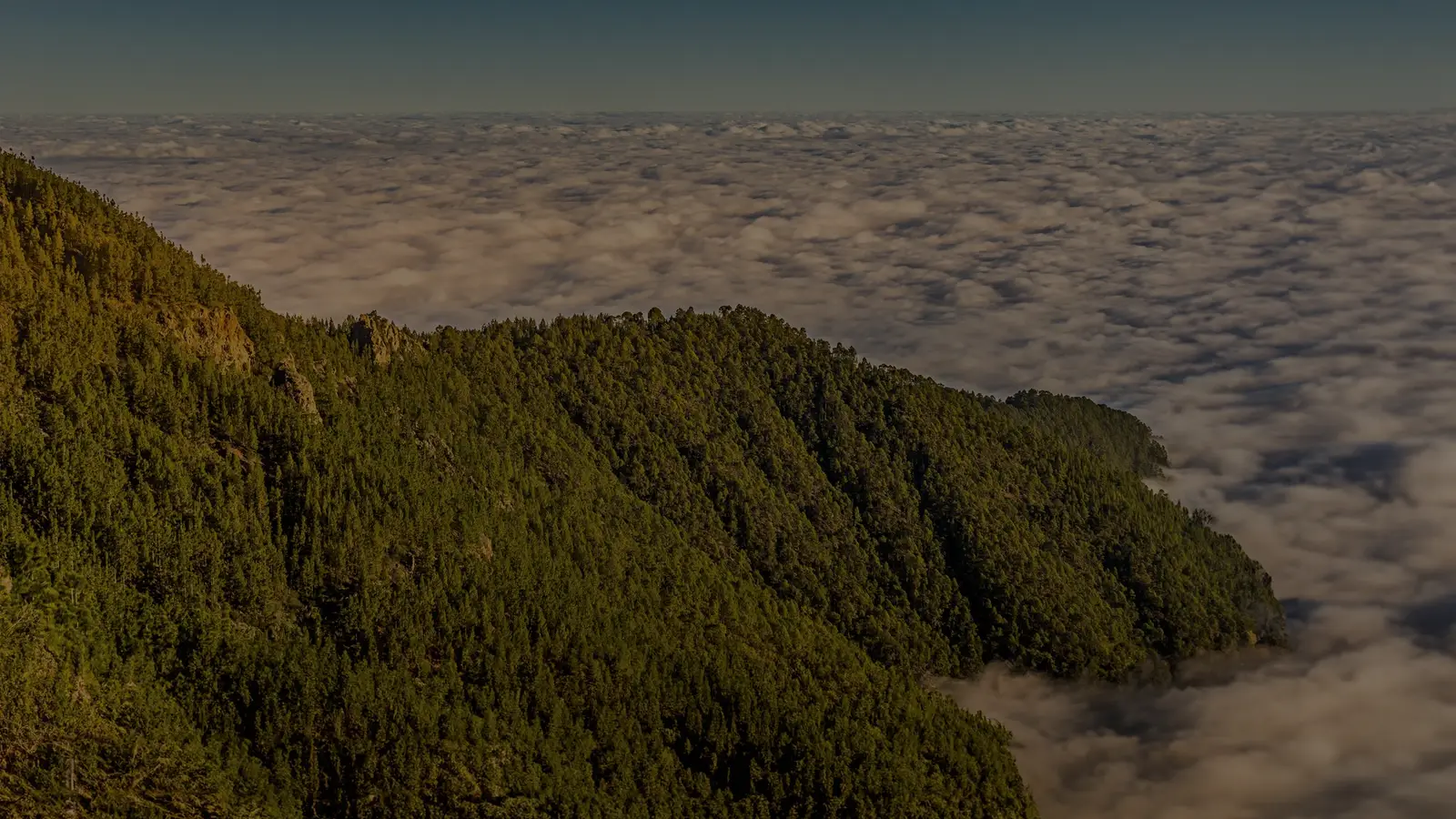
Pines on a steep hillside, half lost in mist
02 / 04 · Forest

Forest

Altitude
140 m
Mile
38
Days
4

Hollin Wood is fifty-eight miles of pine and birch on a slope you barely notice. The path is soft, the light is green, and the mist that sits in the trees most mornings is the same cloud you will be standing inside two chapters from now.

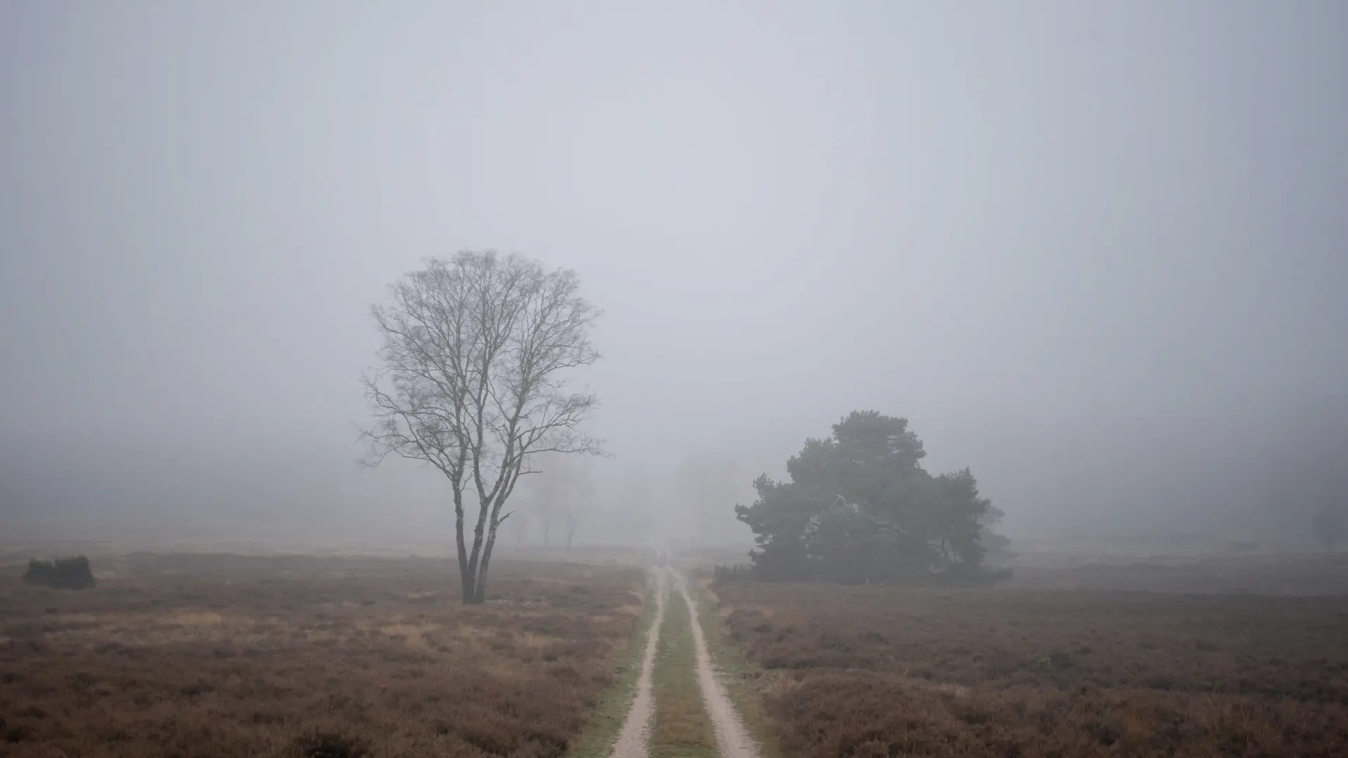
A single track crossing open heath towards a bare tree in fog
03 / 04 · Moor

Moor

Altitude
410 m
Mile
96
Days
6

Above the tree line the Way becomes a single track through heather and peat, ninety-four miles of it, with one tree, two bothies and no shop. This is the longest chapter and the one people come back for. Carry water; the moor keeps its own.

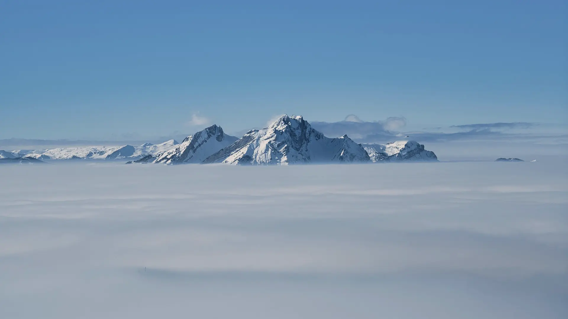
Snow-covered peaks rising through a flat sea of cloud
04 / 04 · Summit

Summit

Altitude
978 m
Mile
190
Days
3

Hollin Fell is inside cloud roughly half the days of the year, and the Way is designed for that: the summit cairn is the end, not the view. If the cloud lifts you will see the shore you started from. If it does not, you will have walked into the weather you watched from the woods.

Chapters

Four chapters, sixteen walking days, one climb. Each can be walked on its own; the Way is only the Way if you take them in order.

  1. 01 Shore Saltmarsh Point to Blackstone Sands 38 mi0 m3 days
  2. 02 Forest Blackstone Sands to Hollin Wood 58 mi140 m4 days
  3. 03 Moor Hollin Wood to Raven Edge 94 mi410 m6 days
  4. 04 Summit Raven Edge to Hollin Fell 978 m3 days
Voice 0 characters

Start typing in Wending Sans here

Click the line and type. The Way speaks in one typeface, at two sizes: very large, and very small.

Colour

The trail has no palette. It has a hillside, and five places on it worth pointing at.

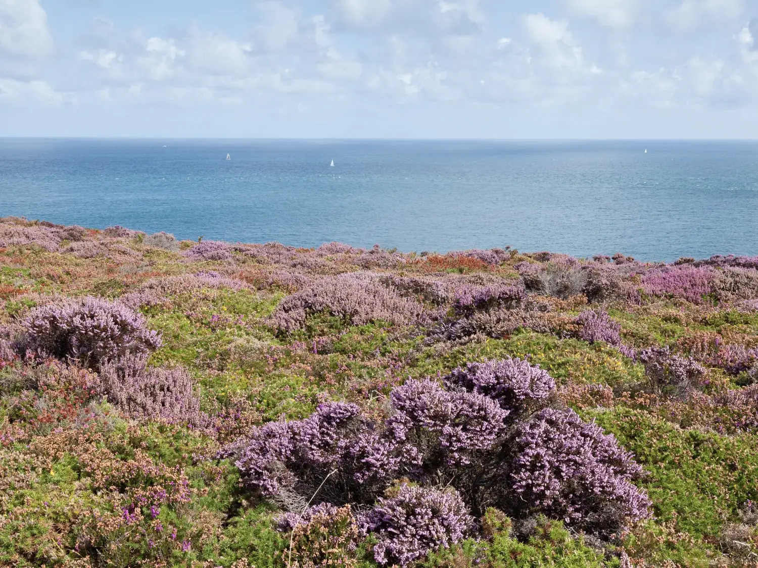
Heather in flower on a headland above a calm sea
Under the lens

Heather

#AA8289 · 22%, 72%

Photography

Nothing is photographed from the path. Every picture on the Way is taken from where the path is going, or from where it has been.

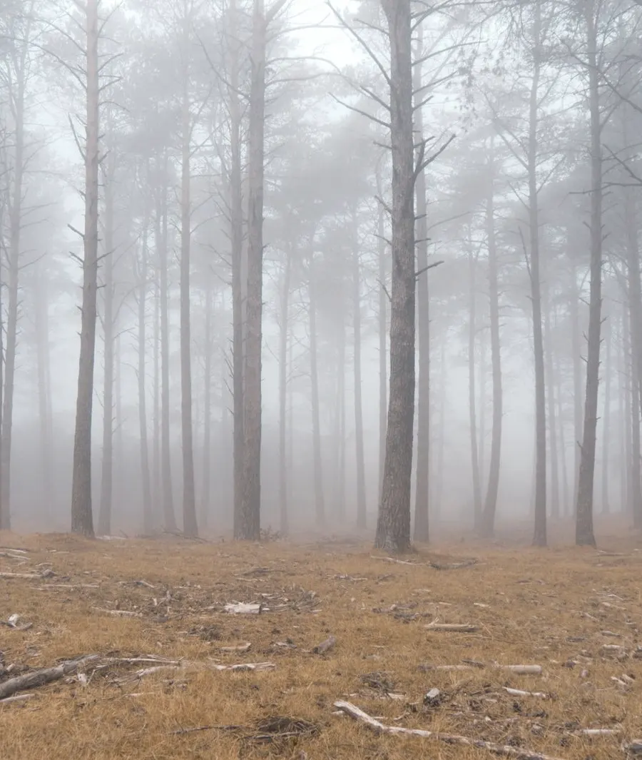
Bare pine trunks in thick fog
Hollin Wood, day 5mile 41
A wave breaking on black sand, seen from above
Blackstone Sandsmile 31
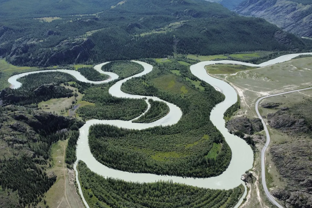
A river winding in tight loops through a green valley
The Wend, from Raven Edgemile 96
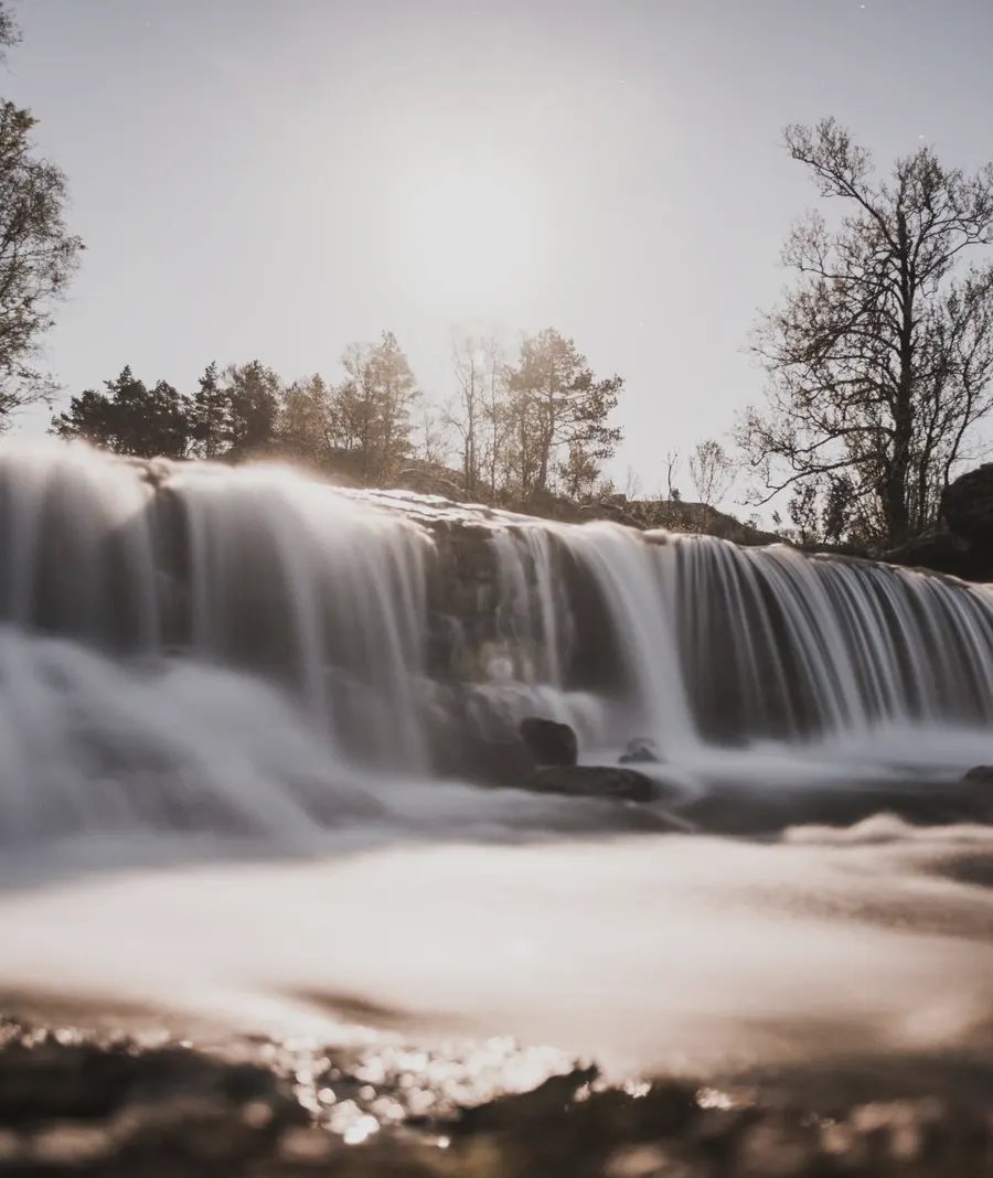
A wide waterfall in low sun
Gill Forcemile 71
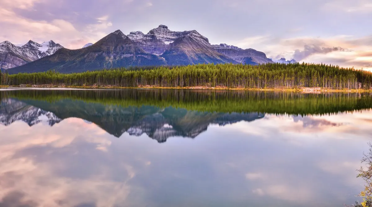
Mountains reflected in a still lake at dusk
Low Tarnmile 158
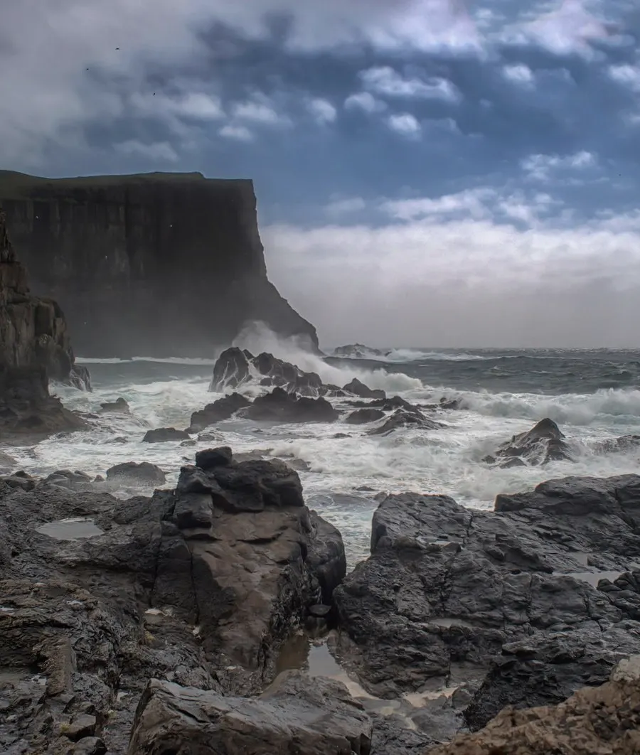
Sea cliffs in a storm
Saltmarsh Point, before the startmile 0
Back to GSAP Vault